St. Paul's Episcopal Church, Washington D.C.
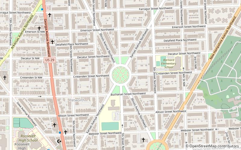
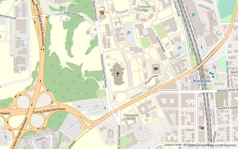
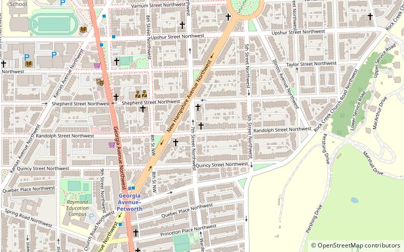
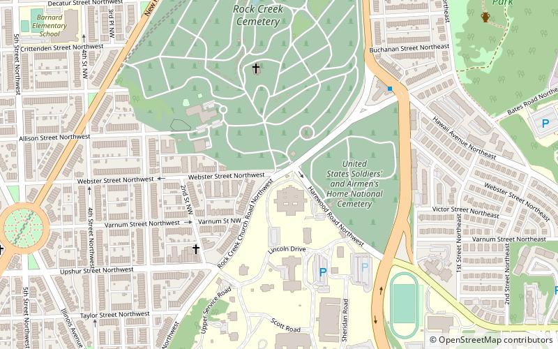
Map
Gallery
Facts and practical information
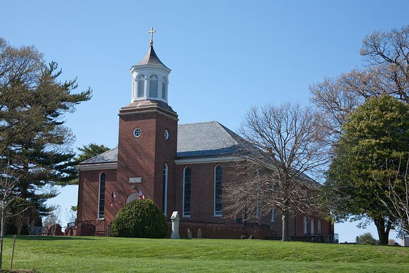
St. Paul's Episcopal Church, Rock Creek Parish, is a historic Episcopal church located on Rock Creek Church Road, NW, in Washington, D.C., United States. ()
Coordinates: 38°56'40"N, 77°0'41"W
Address
Northwest Washington (Petworth)Washington D.C.
ContactAdd
Social media
Add
Day trips
St. Paul's Episcopal Church – popular in the area (distance from the attraction)
Nearby attractions include: Basilica of the National Shrine of the Immaculate Conception, Sherman Circle, Petworth Library, United States Soldiers' and Airmen's Home National Cemetery.
Frequently Asked Questions (FAQ)
Which popular attractions are close to St. Paul's Episcopal Church?
Nearby attractions include United States Soldiers' and Airmen's Home National Cemetery, Washington D.C. (4 min walk), President Lincoln's Cottage at the Soldiers' Home, Washington D.C. (5 min walk), President Lincoln and Soldiers' Home National Monument, Washington D.C. (5 min walk), Rock Creek Cemetery, Washington D.C. (6 min walk).
How to get to St. Paul's Episcopal Church by public transport?
The nearest stations to St. Paul's Episcopal Church:
Metro
Bus
Metro
- Fort Totten • Lines: Gr, Rd, Yl (18 min walk)
- Georgia Avenue–Petworth • Lines: Gr, Yl (22 min walk)
Bus
- A • Lines: K6, K9 (18 min walk)
- B • Lines: 64 (19 min walk)


