New York Avenue, Washington D.C.
Map

Gallery
Facts and practical information
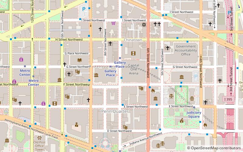
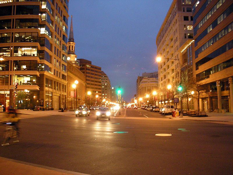
New York Avenue is a diagonal avenue radiating northeast from the White House in Washington, D.C. to the border with Maryland. It is a major east–west route in the city's Northwest and Northeast quadrants and connects downtown with points east and north of the city via Cheverly, Maryland, the John Hanson Highway, the Baltimore–Washington Parkway, and eventually, Interstate 95. ()
Address
Northwest Washington (Mount Vernon Square)Washington D.C.
ContactAdd
Social media
Add
Day trips
New York Avenue – popular in the area (distance from the attraction)
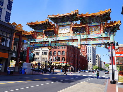
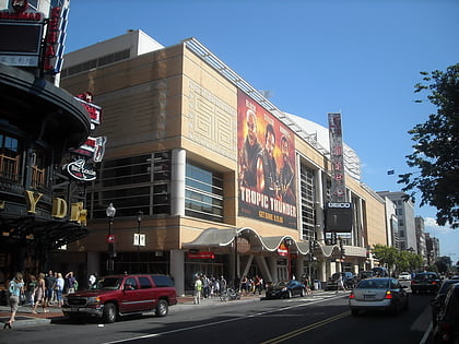
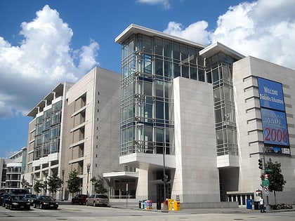
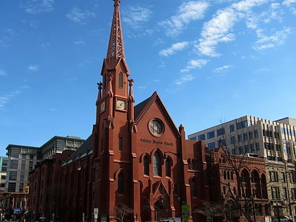
Nearby attractions include: Friendship Archway, Capital One Arena, Walter E. Washington Convention Center, Calvary Baptist Church.
Frequently Asked Questions (FAQ)
Which popular attractions are close to New York Avenue?
Nearby attractions include Rigo Walled Park, Washington D.C. (2 min walk), Mount Vernon Triangle Historic District, Washington D.C. (2 min walk), Mount Vernon Triangle, Washington D.C. (2 min walk), Milian Park, Washington D.C. (4 min walk).
How to get to New York Avenue by public transport?
The nearest stations to New York Avenue:
Metro
Bus
Train
Tram
Metro
- Mount Vernon Square • Lines: Gr, Yl (6 min walk)
- Gallery Place • Lines: Gr, Rd, Yl (9 min walk)
Bus
- BoltBus (19 min walk)
- Megabus (19 min walk)
Train
- Washington Union Station (20 min walk)
- Russell (25 min walk)
Tram
- Union Station • Lines: H Street/Benning Road Streetcar (21 min walk)
- H Street & 5th Street Northeast • Lines: H Street/Benning Road Streetcar (28 min walk)

