Bartholdi Park, Washington D.C.
Map
Map

Facts and practical information
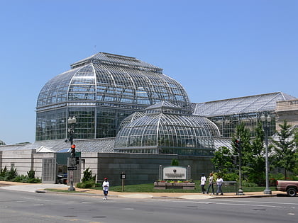
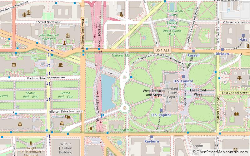
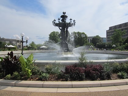
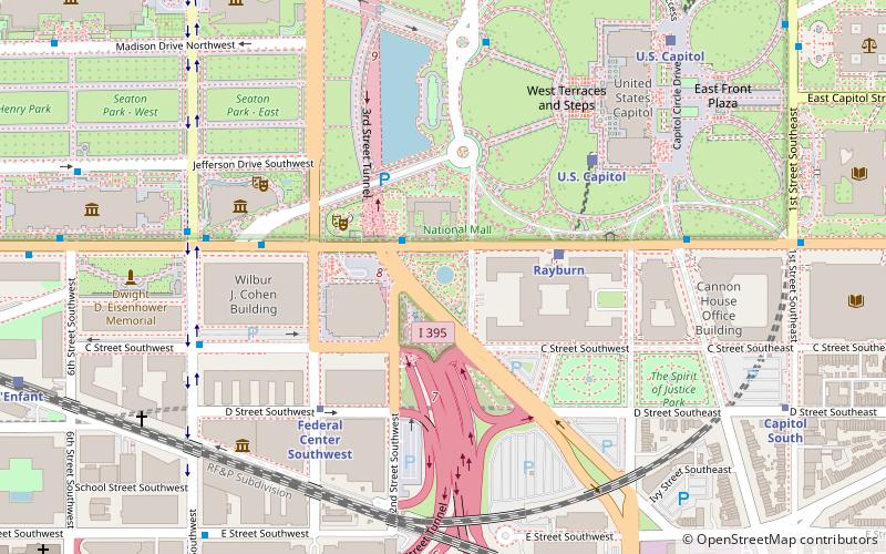
Bartholdi Park is a public park named after French sculptor Frédéric Auguste Bartholdi, who is known primarily for designing the Statue of Liberty. It is located at the corner of Independence Avenue and Washington Avenue. Bartholdi Park is part of the United States Botanic Garden located on the grounds of the United States Capitol. ()
Address
Independence AvenueSouthwest Washington (Southwest Employment Area)Washington D.C.
Contact
Social media
Add
Day trips
Bartholdi Park – popular in the area (distance from the attraction)
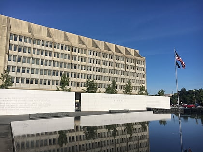
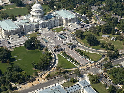
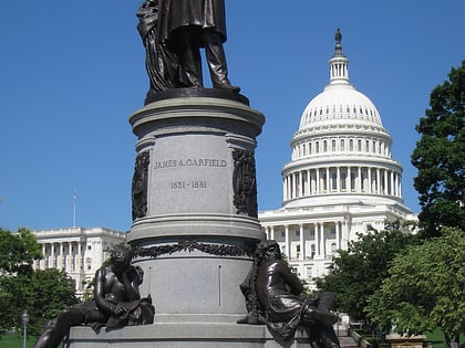
Nearby attractions include: United States Capitol, National Museum of the American Indian, United States Botanic Garden, Statue of Freedom.
Frequently Asked Questions (FAQ)
Which popular attractions are close to Bartholdi Park?
Nearby attractions include Bartholdi Fountain, Washington D.C. (1 min walk), American Veterans Disabled for Life Memorial, Washington D.C. (2 min walk), United States Botanic Garden, Washington D.C. (2 min walk), Rayburn House Office Building, Washington D.C. (4 min walk).
How to get to Bartholdi Park by public transport?
The nearest stations to Bartholdi Park:
Train
Metro
Bus
Tram
Train
- Rayburn (4 min walk)
- U.S. Capitol (7 min walk)
Metro
- Federal Center Southwest • Lines: Bl, Or, Sv (5 min walk)
- Capitol South • Lines: Bl, Or, Sv (10 min walk)
Bus
- FlixBus Washington Union Station • Lines: 2601, 2602, 2668, N2610 (20 min walk)
- Washington Deluxe Bus (22 min walk)
Tram
- Union Station • Lines: H Street/Benning Road Streetcar (26 min walk)
- H Street & 8th Street Northeast • Lines: H Street/Benning Road Streetcar (34 min walk)


