Kalorama Triangle Historic District, Washington D.C.
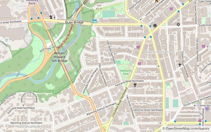
Map
Map

Facts and practical information
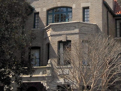
The Kalorama Triangle Historic District is located in the Kalorama Heights neighborhood of Washington, D.C. It was listed on the National Register of Historic Places in 2004. It has been listed on the District of Columbia Inventory of Historic Sites since 1986. The district is home to roughly 350 contributing properties. ()
Coordinates: 38°55'14"N, 77°2'47"W
Address
Northwest Washington (Adams Morgan)Washington D.C.
ContactAdd
Social media
Add
Day trips
Kalorama Triangle Historic District – popular in the area (distance from the attraction)
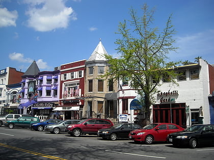
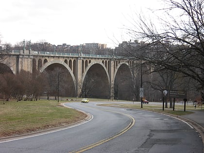
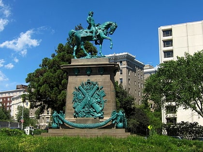
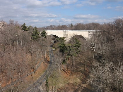
Nearby attractions include: Adams Morgan, Taft Bridge, Equestrian statue of George B. McClellan, Duke Ellington Bridge.
Frequently Asked Questions (FAQ)
Which popular attractions are close to Kalorama Triangle Historic District?
Nearby attractions include Washington Heights Historic District, Washington D.C. (6 min walk), Taft Bridge, Washington D.C. (6 min walk), Lothrop Mansion, Washington D.C. (6 min walk), Adams Morgan, Washington D.C. (6 min walk).
How to get to Kalorama Triangle Historic District by public transport?
The nearest stations to Kalorama Triangle Historic District:
Metro
Bus
Metro
- Woodley Park • Lines: Rd (12 min walk)
- Dupont Circle • Lines: Rd (20 min walk)
Bus
- Bus Loading (22 min walk)

