Ahjumawi Lava Springs State Park

Gallery (2)
Map
Map
Gallery
Facts and practical information
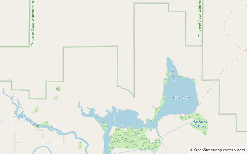
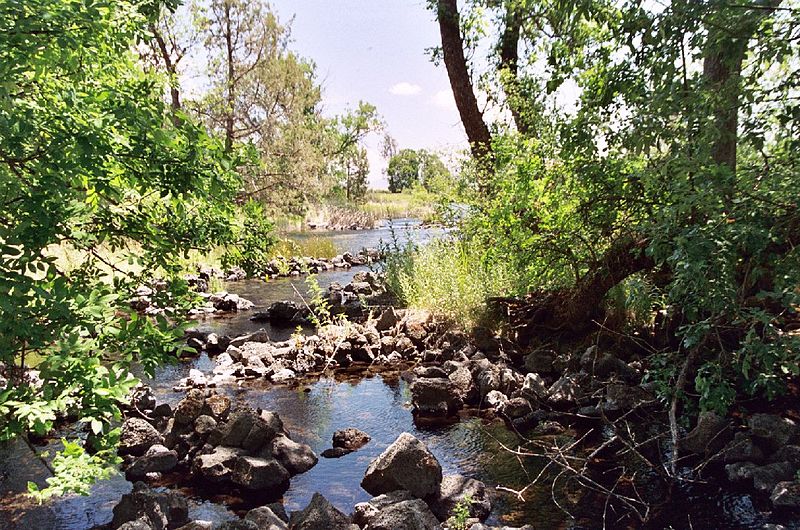
Ahjumawi Lava Springs State Park is a state park of California in the United States. It is located in remote northeastern Shasta County and is only accessible to the public by boat. ()
Alternative names: Established: 1975 (51 years ago)Elevation: 3392 ft a.s.l.Coordinates: 41°7'31"N, 121°25'59"W
Location
California
ContactAdd
Social media
Add