Anahuac National Wildlife Refuge
Map

Gallery

Facts and practical information
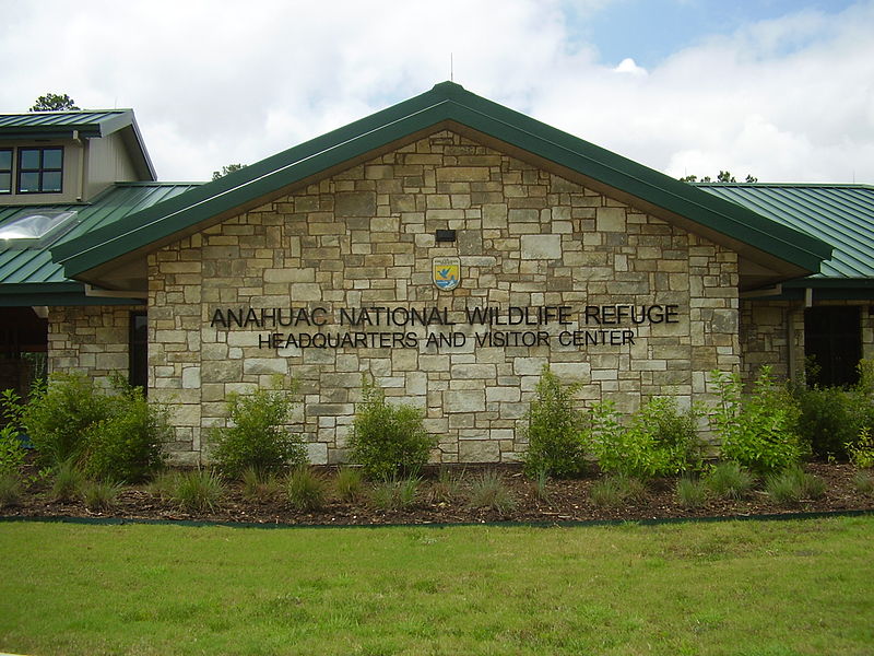
The Anahuac National Wildlife Refuge is a wildlife conservation area along the coast of Texas, west of the town of High Island, Texas. It borders East Bay, part of the Galveston Bay complex, behind Bolivar Peninsula at the Gulf of Mexico. ()
Elevation: 3 ft a.s.l.Coordinates: 29°34'0"N, 94°31'15"W
