Beaver Brook State Park
Map

Map

Facts and practical information
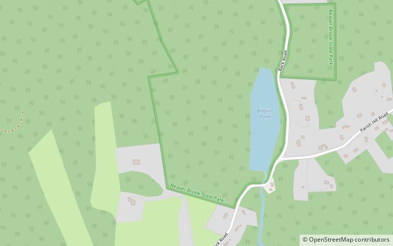
Beaver Brook State Park is an undeveloped public recreation area covering 401 acres in the towns of Windham and Chaplin, Connecticut. The state park encompasses Bibbins Pond, also known as Beaver Brook Pond, as well as the acreage northward as far as the Air Line State Park Trail, which forms the park's northern boundary. The park is a walk-in facility, open for hunting and trout fishing, managed by the Connecticut Department of Energy and Environmental Protection. ()
Established: 1955 (71 years ago)Elevation: 390 ft a.s.l.Coordinates: 41°43'55"N, 72°7'43"W
Day trips
Beaver Brook State Park – popular in the area (distance from the attraction)
Nearby attractions include: Windham Textile and History Museum, Windham Town Hall, Jillson Mills, Jillson Square Park.


