Buford Mountain Conservation Area
Map

Map

Facts and practical information
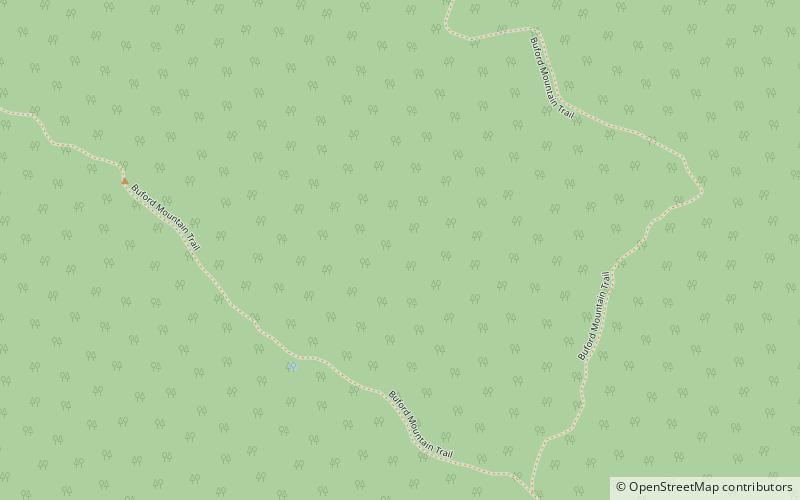
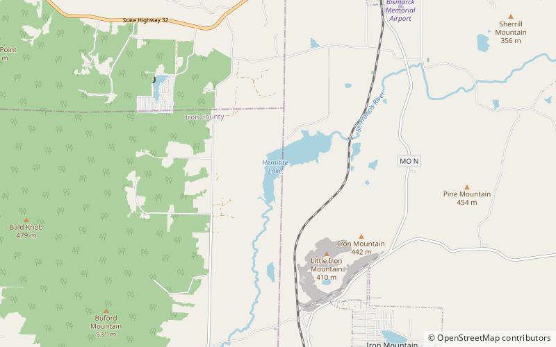
Buford Mountain Conservation Area consists of 3,824 acres north of Ironton and southwest of Bismarck, Missouri. The area includes Buford Mountain at 1,740 feet above sea level. The mountain consists mostly of rhyolite, with few permanent water sources. However, there are eight fishless ponds each about 0.25 acres in size. ()
Established: 1983 (43 years ago)Elevation: 1375 ft a.s.l.Coordinates: 37°42'49"N, 90°42'11"W
Day trips
Buford Mountain Conservation Area – popular in the area (distance from the attraction)
Nearby attractions include: Bismarck Conservation Area, Elephant Rocks State Park.


