Elephant Rocks State Park

Facts and practical information
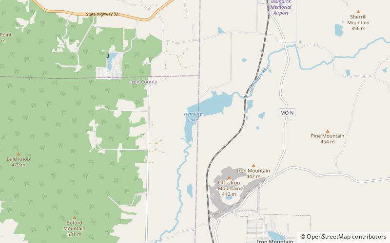
Nestled in the heart of the Missouri region, Elephant Rocks State Park is a natural wonder that promises visitors a unique and unforgettable experience. This geological marvel is home to a collection of massive granite boulders, some as large as elephants, hence the park's name. These massive rocks are believed to have formed over a billion years ago, and their intriguing shapes and formations make for a fascinating sight.
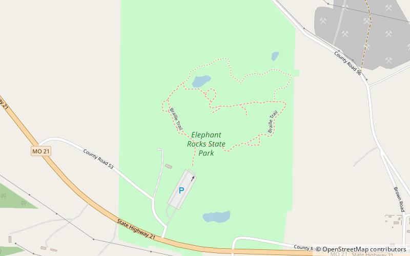
One of the main draws of Elephant Rocks State Park is the opportunity for visitors to explore the massive boulders up close. The park features a 1-mile loop trail that takes hikers through and around the giant rocks, offering plenty of opportunities for climbing and scrambling. This makes it a popular destination for outdoor enthusiasts and families looking for a fun and active day out in nature. The park also offers picnic areas and playgrounds, making it an ideal spot for a leisurely day trip.
In addition to its natural beauty, Elephant Rocks State Park also boasts a rich history. The park was once a granite quarry, and remnants of the industry can still be seen throughout the area. Visitors can learn about the park's past through interpretive signs and exhibits, adding an educational element to the experience.