Byers Peak Wilderness
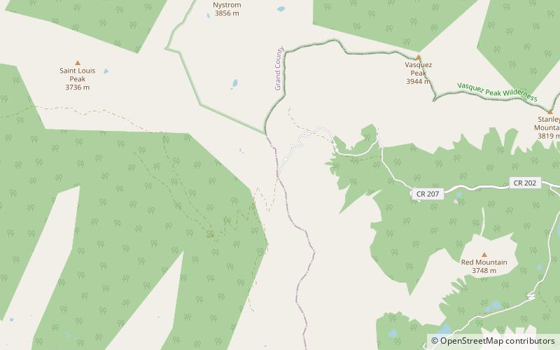
Map

Map

Facts and practical information
The Byers Peak Wilderness is a U.S. Wilderness Area located in Arapaho National Forest in north central Colorado. The 8,913-acre wilderness was established in 1993 and named after its highest point, Byers Peak. Byers Peak was named after William N. Byers, the first mayor of Hot Sulphur Springs and the founder of Colorado's first newspaper, the Rocky Mountain News. The wilderness contains two glacial lakes, two peaks over 12,500 feet, and 23 miles of trails. ()
Established: 1993 (33 years ago)Elevation: 10978 ft a.s.l.Coordinates: 39°51'8"N, 105°58'34"W
Day trips
Byers Peak Wilderness – popular in the area (distance from the attraction)
Nearby attractions include: Jones Pass.

