Jones Pass, Arapaho National Forest

Map
Facts and practical information
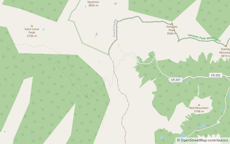
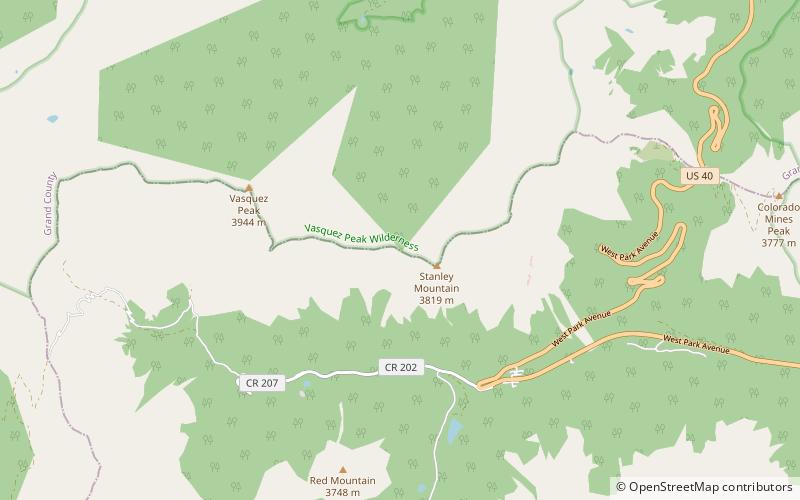
Jones Pass, elevation 12,454 ft, is a mountain pass that crosses the Continental Divide in the Front Range of the Rocky Mountains of Colorado in the United States. ()
Maximum elevation: 12454 ftCoordinates: 39°46'26"N, 105°53'20"W
Address
Arapaho National Forest
ContactAdd
Social media
Add
Day trips
Jones Pass – popular in the area (distance from the attraction)
Nearby attractions include: Mount Parnassus, Bard Peak, Engelmann Peak, Byers Peak Wilderness.


