Cacapon Resort State Park

Gallery (4)
Map

Map
Gallery
Facts and practical information
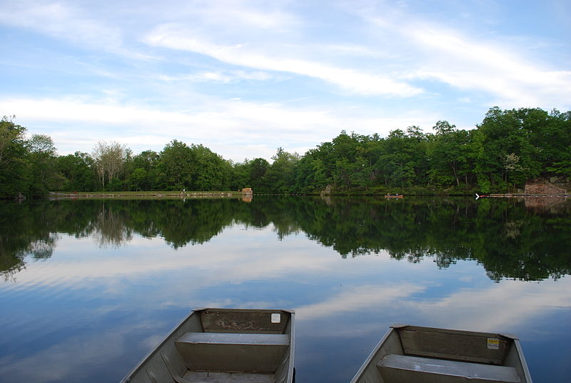
Opened in 1933, the 6,115-acre Cacapon Resort State Park is located on the eastern slopes of Cacapon Mountain in Morgan County, West Virginia, USA. Panorama Overlook, at the southern end of the park and 2,320 feet above sea level, is the highest point in the park and in Morgan County. ()
Established: 1937 (89 years ago)Elevation: 1112 ft a.s.l.Coordinates: 39°30'59"N, 78°18'0"W