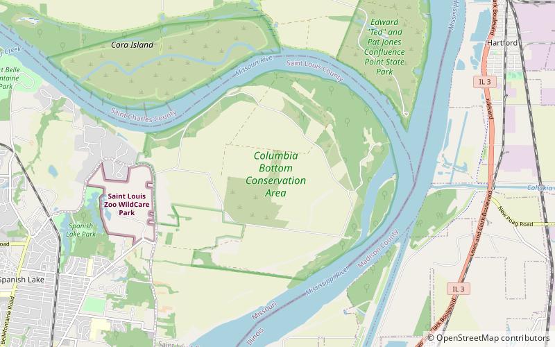
Columbia Bottom Conservation Area

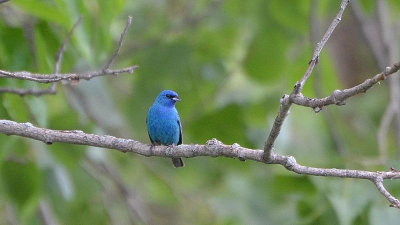
Gallery (2)
Map
Map
Gallery
Facts and practical information
The Columbia Bottom Conservation Area is a 4,256-acre conservation area located on the south side of the Missouri River at its confluence with the Mississippi River. The conservation area, which is located in eastern St. Louis County, Missouri, north of the city of St. Louis, is operated by the Missouri Department of Conservation. One key asset is 6.5-mile of river frontage for boating, fishing, and birdwatching. ()
Established: 1997 (29 years ago)Elevation: 420 ft a.s.l.Coordinates: 38°48'29"N, 90°9'6"W
Day trips