Bellefontaine Conservation Area

Map
Facts and practical information
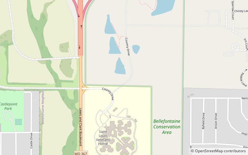
Bellefontaine Conservation Area consists of 133 acres in St. Louis County, Missouri. It is located along Interstate 270 in Castle Point. ()
Established: 1995 (31 years ago)Coordinates: 38°45'52"N, 90°14'9"W
Day trips
Bellefontaine Conservation Area – popular in the area (distance from the attraction)
Nearby attractions include: New Chain of Rocks Bridge, Bellefontaine Cemetery, Chain of Rocks Bridge, UMSL.


