Conscience Point National Wildlife Refuge, Long Island

Gallery (1)
Map
Map
Facts and practical information
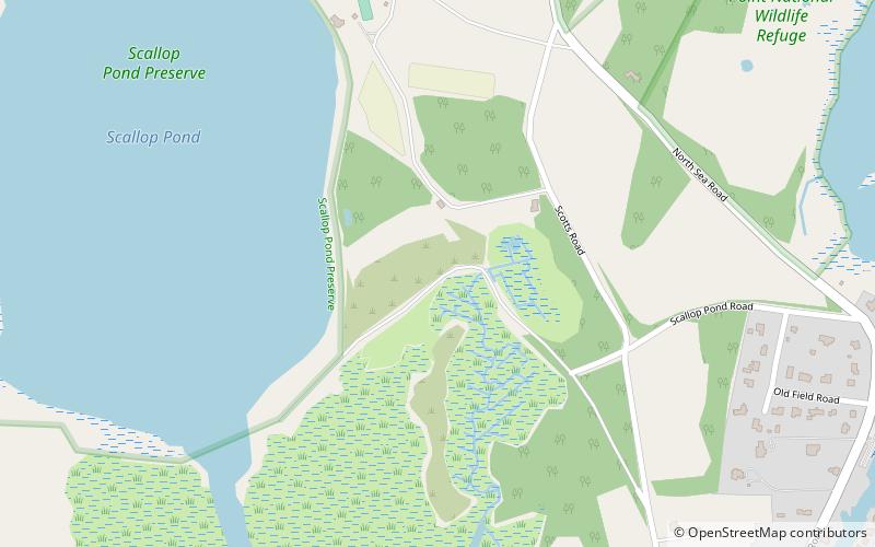
The Conscience Point National Wildlife Refuge was established July 20, 1971 as a land gift from Stanley Howard. The 60-acre refuge is located in the hamlet of North Sea on the north shore of Long Island's south fork. The refuge protects grasslands, oak-beech forest, shrub habitats, kettle holes, freshwater marsh and salt marsh. ()
Established: 20 July 1971 (54 years ago)Elevation: 3 ft a.s.l.Coordinates: 40°56'16"N, 72°25'36"W
Day trips
Conscience Point National Wildlife Refuge – popular in the area (distance from the attraction)
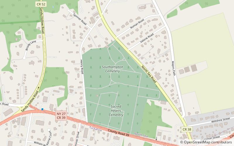
Nearby attractions include: Parrish Art Museum, Halsey House, Basilica of the Sacred Hearts of Jesus and Mary, Shinnecock Canal.