Shinnecock Canal, West Hampton Dunes
Map

Map

Facts and practical information
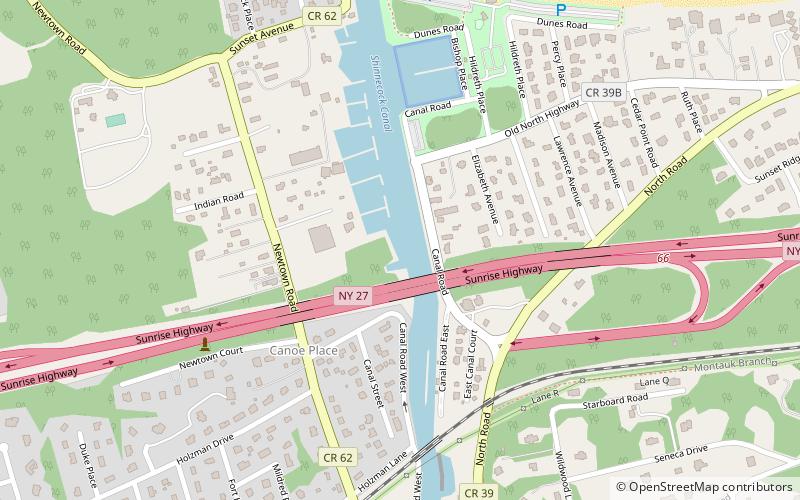
The Shinnecock Canal is a canal that cuts across the South Fork of Long Island at Hampton Bays, New York. At 4,700 feet long, it connects Great Peconic Bay and the north fork of Long Island with Shinnecock Bay and the Atlantic Ocean. The canal opened to traffic in 1892. ()
Coordinates: 40°53'26"N, 72°30'7"W
Address
The Hamptons (Hampton Bays)West Hampton Dunes
ContactAdd
Social media
Add
Day trips
Shinnecock Canal – popular in the area (distance from the attraction)
Nearby attractions include: Basilica of the Sacred Hearts of Jesus and Mary, Shinnecock Hills Golf Club, Ponquogue Bridge, Sebonack Golf Club.


