
De Soto Travel Guide
Facts and practical information
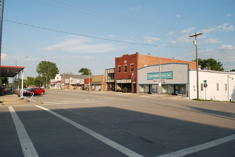
Nestled in the heart of the Kansas region, the city of De Soto offers visitors a charming blend of small-town charm and natural beauty. Known for its rich history and picturesque landscapes, De Soto is the perfect destination for those looking to escape the hustle and bustle of city life.
One of the highlights of De Soto is the picturesque Riverfest Park, which offers a tranquil retreat for nature lovers. Visitors can stroll along the scenic trails, enjoy a picnic by the river, or simply take in the breathtaking views of the surrounding countryside. The park is also home to a variety of wildlife, making it a popular spot for birdwatching and nature photography.
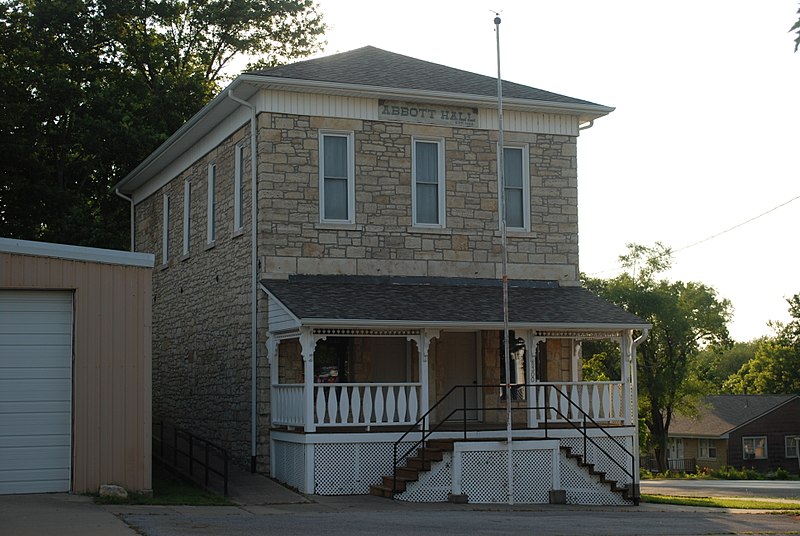
For history enthusiasts, the De Soto Historical Society Museum provides a fascinating glimpse into the city's past. Housed in a beautifully preserved historic building, the museum features an impressive collection of artifacts, photographs, and exhibits that showcase the rich heritage of the region. Visitors can learn about the early settlers, the development of the town, and the impact of the railroad on the local community.
In addition to its natural beauty and historical attractions, De Soto also offers a variety of outdoor recreational activities. The nearby Kansas River provides opportunities for fishing, boating, and kayaking, while the surrounding countryside is ideal for hiking and cycling. Golf enthusiasts can tee off at the scenic Oak Country Club, which offers a challenging course set against a backdrop of rolling hills and lush greenery.
De Soto Attractions - What to See and Explore
De Soto offers many attractions and places to visit. Here are the most important ones: Highway 2 Bridge. Below you will find a complete list of places worth visiting.

Best Time To Visit De Soto
Learn when is the best time to travel to De Soto weather-wise and what to expect in each season.