Highway 2 Bridge, De Soto
Map

Map

Facts and practical information
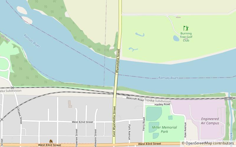
The Highway 2 Bridge is an automobile and pedestrian crossing of the Kansas River on the border of Johnson and Leavenworth Counties in De Soto. The current bridge was built in 1964. ()
Opened: 1964 (62 years ago)Coordinates: 38°58'56"N, 94°57'53"W
Address
De Soto
ContactAdd
Social media
Add
Day trips
Highway 2 Bridge – popular in the area (distance from the attraction)
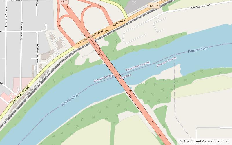
Nearby attractions include: GreatLife Golf & Fitness - Burning Tree, K-7 Bridge.


