Emmenegger Nature Park
Map

Map

Facts and practical information
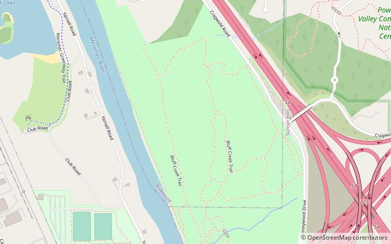
Emmenegger Nature Park consists of 93 acres in southwestern St. Louis County, Missouri. It is located in the city of Kirkwood and bordered to the west by the Meramec River, to the south by Interstate 44 and the Possum Woods Conservation Area, and to the east by Interstate 270. The ENP is part of the Henry Shaw Ozark Corridor. The Powder Valley Nature Center is directly to the east of ENP across Interstate 270. ()
Elevation: 463 ft a.s.l.Coordinates: 38°33'5"N, 90°26'4"W
Location
Missouri
ContactAdd
Social media
Add
Day trips
Emmenegger Nature Park – popular in the area (distance from the attraction)
Nearby attractions include: Laumeier Sculpture Park, Possum Woods Conservation Area, Quinette Cemetery, World Wide Technology Soccer Park.


