Farm River State Park
Map

Map

Facts and practical information
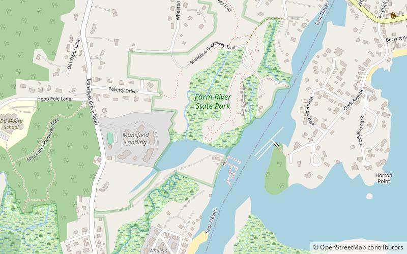
Farm River State Park is a privately operated, publicly owned recreation area on the western shore of the Farm River estuary in the town of East Haven, Connecticut. Public access to the 62-acre state park is limited and boating is restricted to those with passes obtained from Quinnipiac University, which manages the park for the Connecticut Department of Energy and Environmental Protection. Park activities include nature trail hiking, bird watching, and fishing. ()
Established: 1998 (28 years ago)Elevation: 3 ft a.s.l.Coordinates: 41°15'17"N, 72°51'29"W
Day trips
Farm River State Park – popular in the area (distance from the attraction)
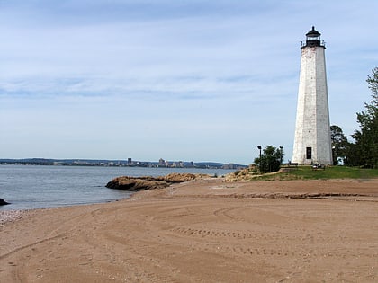
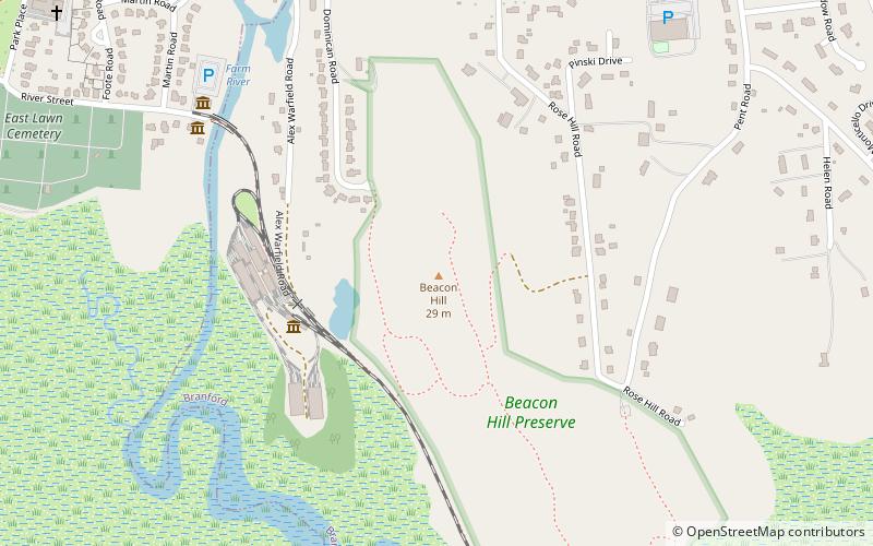
Nearby attractions include: Lighthouse Point Carousel, Five Mile Point Light, Nathan Hale Park, Shore Line Trolley Museum.


