Fort Ord Dunes State Park
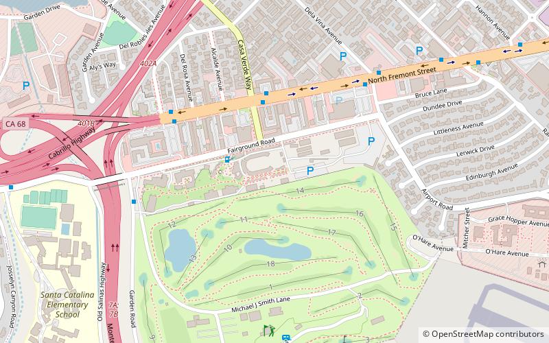
Map
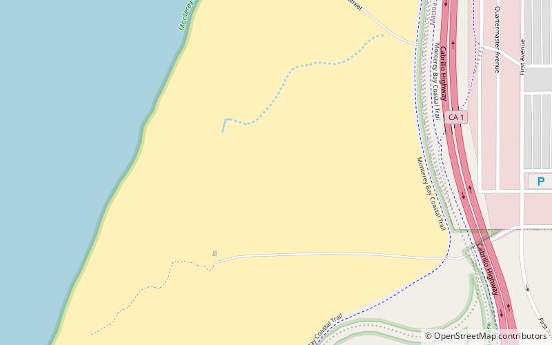
Map

Facts and practical information
Fort Ord Dunes State Park is a state park in California, United States, along 4 miles of coastline on Monterey Bay and created from part of the closed Fort Ord. The park includes a boardwalk, a path to the beach, a 4-mile road for walking and biking, and interpretive exhibits describing its former use as a military training area. As the dunes are a nesting area for sensitive species, public access is limited to the paths and trails. ()
Alternative names: Established: 2009 (17 years ago)Area: 1.53 mi²Elevation: 59 ft a.s.l.Coordinates: 36°39'15"N, 121°49'19"W
Location
California
ContactAdd
Social media
Add
Day trips
Fort Ord Dunes State Park – popular in the area (distance from the attraction)
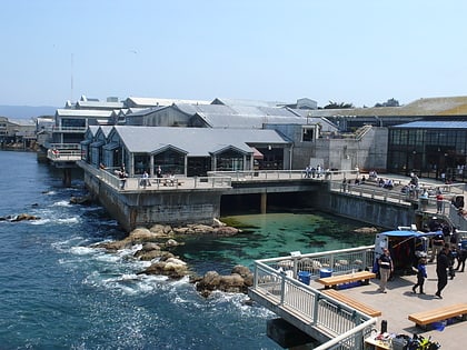
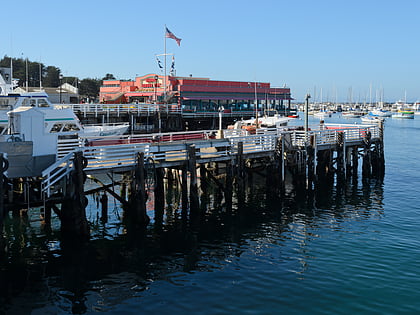
Nearby attractions include: Monterey Bay Aquarium, Fisherman's Wharf, Monterey Bay Whale Watch, Chris' Fishing and Whale Watching.

