Fort Wool

Gallery (1)
Map
Map
Facts and practical information
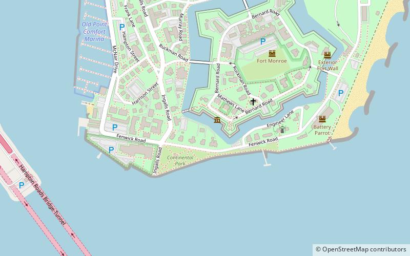
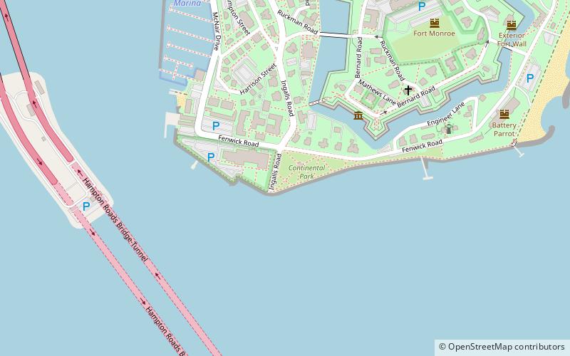
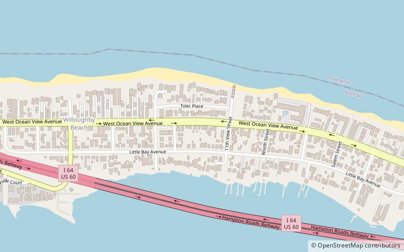
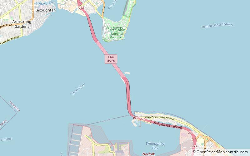
Fort Wool is a decommissioned island fortification located in the mouth of Hampton Roads, adjacent to the Hampton Roads Bridge-Tunnel. Now officially known as Rip Raps Island, the fort has an elevation of 7 feet and sits near Old Point Comfort, Old Point Comfort Light, Willoughby Beach and Willoughby Spit, approximately one mile south of Fort Monroe. ()
Built: 1818 (208 years ago)Coordinates: 36°59'4"N, 76°18'9"W
Location
Virginia
ContactAdd
Social media
Add
Day trips