Fort Algernon, Hampton

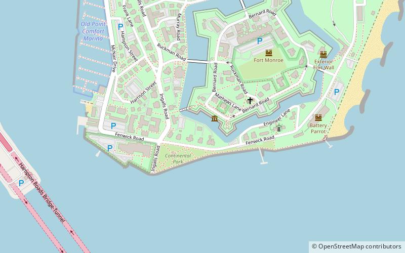
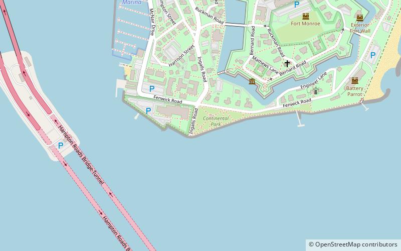
Map
Facts and practical information
Fort Algernon was established in the fall of 1609 at the mouth of Hampton Roads at Point Comfort in the Virginia Colony. A strategic point for guarding the shipping channel leading from the Chesapeake Bay, Fort Monroe was built there beginning in the 1830s. The area is now known as Old Point Comfort. Long part of Elizabeth City County, the site is now located in the independent city of Hampton, Virginia. ()
Coordinates: 37°0'6"N, 76°18'35"W
Address
Fort MonroeHampton
ContactAdd
Social media
Add
Day trips
Fort Algernon – popular in the area (distance from the attraction)
Nearby attractions include: Fort Monroe, Old Point Comfort Marina, Old Point Comfort Light, Hampton VAMC National Cemetery.
Frequently Asked Questions (FAQ)
Which popular attractions are close to Fort Algernon?
Nearby attractions include Fort Monroe, Hampton (1 min walk), Old Point Comfort, Hampton (4 min walk), Chapel of the Centurion, Hampton (4 min walk), Old Point Comfort Light, Hampton (5 min walk).


