Huleia National Wildlife Refuge, Kauai
Map
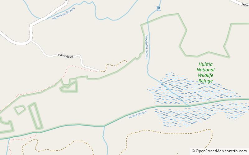
Map

Facts and practical information
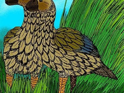
The Hulēʻia National Wildlife Refuge is a National Wildlife Refuge on the island of Kauaʻi in Hawaiʻi. It is adjacent to the Menehune Fish Pond, listed on the National Register of Historic Places, on the southeast side of the island. The Hulēʻia Refuge is approximately 241 acres of bottomlands and wooded slopes along the Hulēʻia River. It was established in 1973 to provide open, productive wetlands as nesting and feeding habitat for endangered Hawaiian waterbirds, including the āeʻo, ʻalae kea, ʻalae ʻula, and koloa maoli can be found here. ()
Established: 1973 (53 years ago)Elevation: 36 ft a.s.l.Coordinates: 21°56'49"N, 159°23'13"W
Day trips
Huleia National Wildlife Refuge – popular in the area (distance from the attraction)
Nearby attractions include: Makauwahi Cave, Kipu Falls, Kukui Grove Center, Kauai Museum.

