Lake Bruin State Park

Gallery (1)
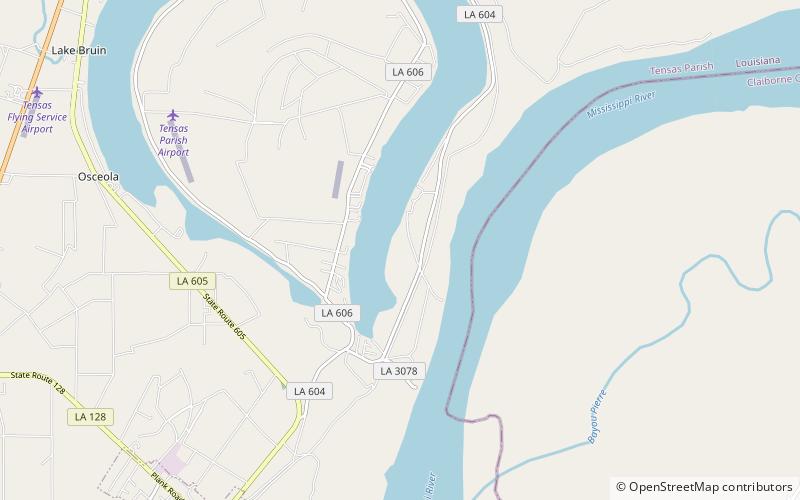
Map
Map
Facts and practical information
Lake Bruin State Park is a place located in the United States and belongs to the category of national park.
It is situated at an altitude of 69 feet, and its geographical coordinates are 31°57'32"N latitude and 91°12'4"W longitude.
Among other places and attractions worth visiting in the area are: Windsor RuinsPort Gibson (historical place, 112 min walk).
Established: 10 July 1956 (69 years ago)Elevation: 69 ft a.s.l.Coordinates: 31°57'32"N, 91°12'4"W
Location
Louisiana
ContactAdd
Social media
Add
Day trips
Lake Bruin State Park – popular in the area (distance from the attraction)
Nearby attractions include: Windsor Ruins.
