Masonboro Island
Map

Map

Facts and practical information
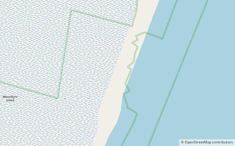
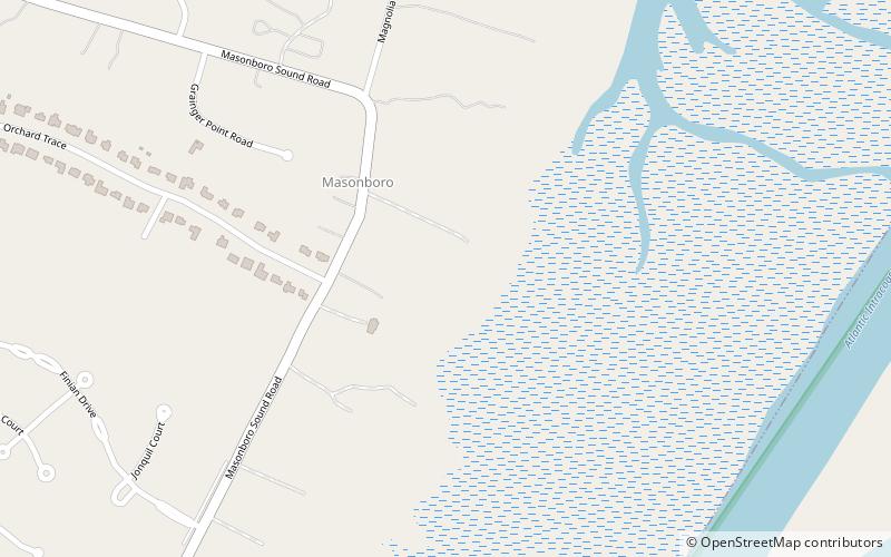
Masonboro Island is a barrier island in New Hanover County, North Carolina, United States. The island, which is undeveloped and accessible only by boat, is a component of the North Carolina National Estuarine Research Reserve and a North Carolina State Natural Area. It lies south of Wrightsville Beach, separated by Masonboro Inlet, and north of Carolina Beach, separated by Carolina Beach Inlet. The island is a destination for boating, surfing, and camping. ()
Area: 178.16 acres (0.2784 mi²)Elevation: 0 ft a.s.l.Coordinates: 34°7'37"N, 77°51'1"W
Location
North Carolina
ContactAdd
Social media
Add
Day trips
Masonboro Island – popular in the area (distance from the attraction)
Nearby attractions include: Orton Plantation, Wrightsville Beach Scenic Tours, Cameron Art Museum, Tregembo Animal Park.


