Masonboro Inlet, Wilmington
Map

Map

Facts and practical information
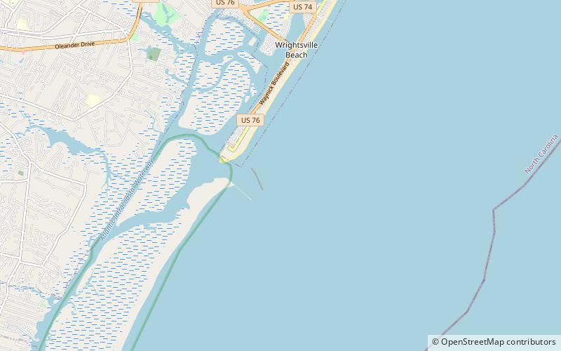
Masonboro Inlet is an inlet in New Hanover County, North Carolina, separating the town of Wrightsville Beach from Masonboro Island. The inlet was used as a hideout by Confederate blockade runners during the Civil War. The blockade runners would hide in the inlet until nightfall, then sail to the nearby port of Wilmington in the cover of darkness. ()
Coordinates: 34°10'57"N, 77°47'58"W
Address
Wilmington
ContactAdd
Social media
Add
Day trips
Masonboro Inlet – popular in the area (distance from the attraction)
Nearby attractions include: University of North Carolina at Wilmington Arboretum, Airlie Gardens, Wrightsville Beach Scenic Tours, Wrightsville Beach Museum of History.


