Meramec Conservation Area
Map

Gallery

Facts and practical information
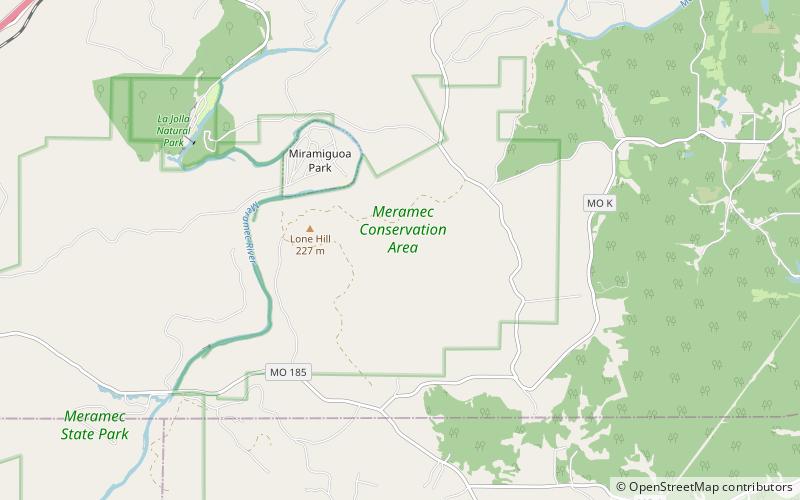
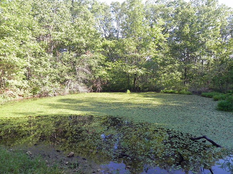
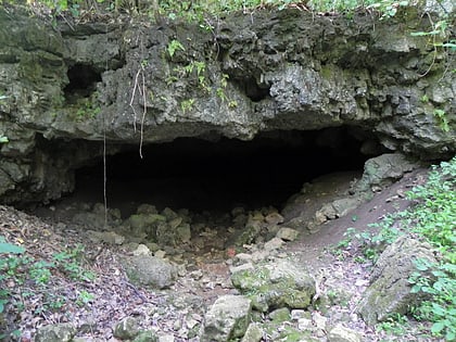
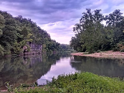
Meramec Conservation Area consists of 3,938 acres in southern Franklin County, Missouri. It is located southeast of the town of Sullivan and bordered to the south by Missouri Route 185 and to the west by the Meramec River and Meramec State Park. It is part of the Meramec Greenway, which is over 28,000 acres of public land along the Meramec River. ()
Elevation: 640 ft a.s.l.Coordinates: 38°13'36"N, 91°3'18"W
Day trips
Meramec Conservation Area – popular in the area (distance from the attraction)
Nearby attractions include: Meramec Caverns, Meramec State Park.


