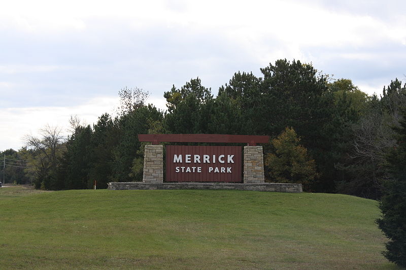
Merrick State Park

Gallery (3)
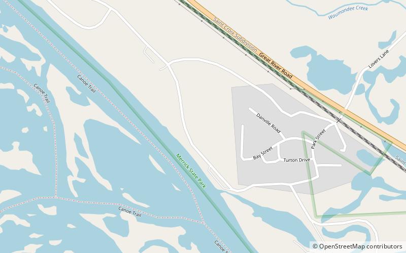
Map
Map
Gallery
Facts and practical information
Merrick State Park is a 322-acre Wisconsin state park on the Mississippi River north of Fountain City. The park is bordered by the lands and waters of the Upper Mississippi River National Wildlife and Fish Refuge. ()
Established: 1932 (94 years ago)Elevation: 673 ft a.s.l.Coordinates: 44°9'15"N, 91°45'17"W
Day trips
Merrick State Park – popular in the area (distance from the attraction)
Nearby attractions include: John A. Latsch State Park.
