Napatree Point
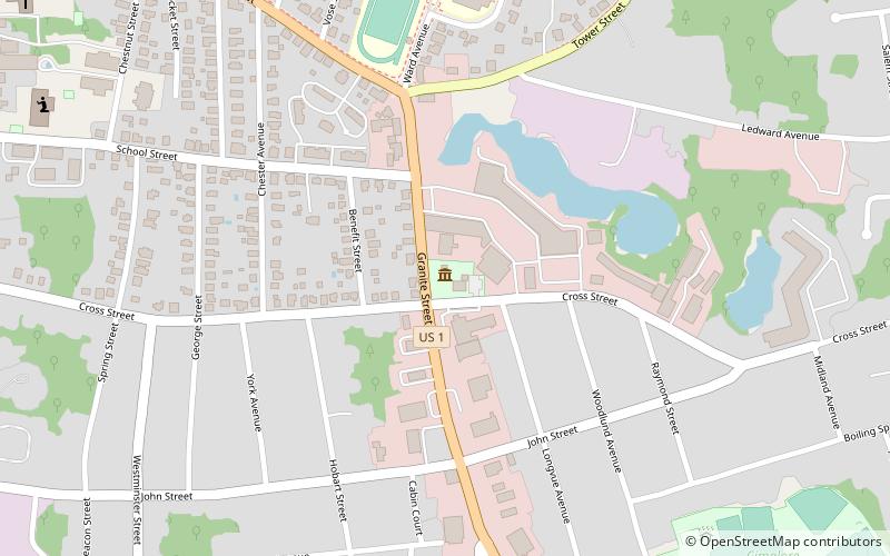
Map

Gallery

Facts and practical information
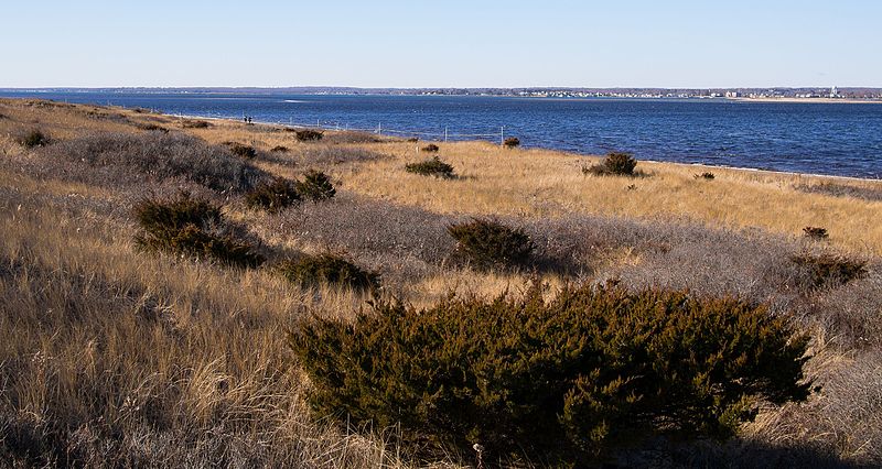
Napatree Point in Rhode Island, often referred to simply as Napatree, is a long sandy spit created by a geologic process called longshore drift. Up until the Hurricane of 1938, Napatree was sickle-shaped and included a 1.5-mile long northern extension called Sandy Point. Napatree now extends 1.5 miles westward from the business district of Watch Hill, a village in Westerly, Rhode Island forming a protected harbor. It is the southernmost and westernmost point of mainland Rhode Island. ()
Elevation: 0 ft a.s.l.Coordinates: 41°18'40"N, 71°52'26"W
Location
Rhode Island
ContactAdd
Social media
Add
Day trips
Napatree Point – popular in the area (distance from the attraction)
Nearby attractions include: Flying Horse Carousel, Stonington Harbor Light, Watch Hill Light, Westerly Downtown Historic District.


