Natchez State Park

Map
Facts and practical information
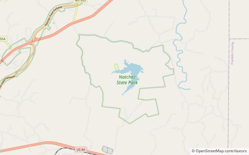
Natchez State Park is a state park in the U.S. state of Mississippi. It is located off U.S. Highway 61 near Stanton, approximately 11 miles northeast of its namesake, Natchez. ()
Elevation: 308 ft a.s.l.Coordinates: 31°35'31"N, 91°12'42"W
Location
Mississippi
ContactAdd
Social media
Add
Day trips
Natchez State Park – popular in the area (distance from the attraction)
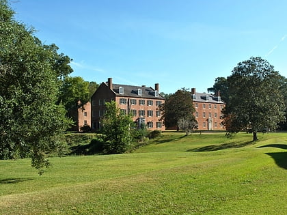
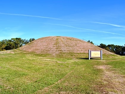
Nearby attractions include: Jefferson College, Emerald Mound.

