Red Haw State Park

Gallery (1)
Map
Map
Facts and practical information
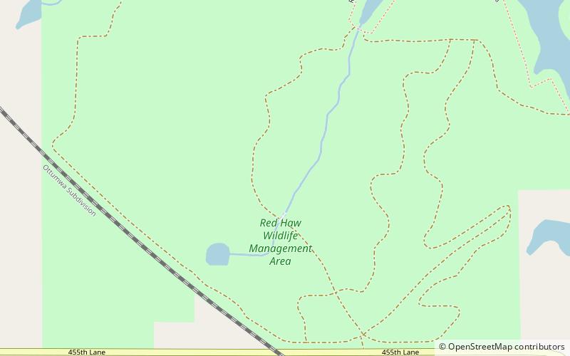
Red Haw State Park is a state park of Iowa, USA, surrounding 72-acre Red Haw Lake. It is in Lucas County near Chariton. ()
Elevation: 1001 ft a.s.l.Coordinates: 40°59'22"N, 93°16'37"W