Rifle Falls State Park
Map

Gallery

Facts and practical information
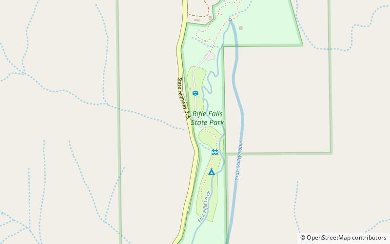
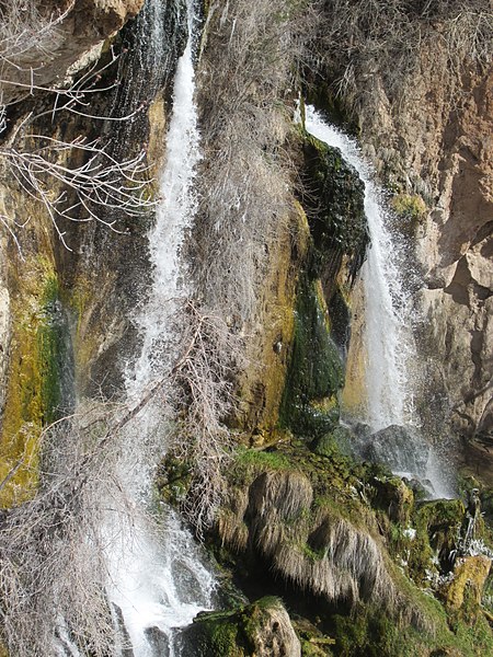
Rifle Falls State Park is a Colorado State Park located in Garfield County northeast of Rifle, Colorado. The central feature of the 48-acre park is a triple 70-foot waterfall flowing over a travertine dam on East Rifle Creek. Commonly seen wildlife includes mule deer, elk, coyote, and golden-mantled ground squirrel. Rainbow and brown trout can be caught in the creek. Limestone cliffs near the falls have a few small caves and three species of bats. Visitor facilities include campsites, picnic sites and 2.0 miles of hiking trails. ()
Established: 1966 (60 years ago)Coordinates: 39°40'26"N, 107°41'60"W
Location
Colorado
ContactAdd
Social media
Add
Day trips
Rifle Falls State Park – popular in the area (distance from the attraction)
Nearby attractions include: Rifle Gap State Park, Harvey Gap State Park.


