Rifle Gap State Park
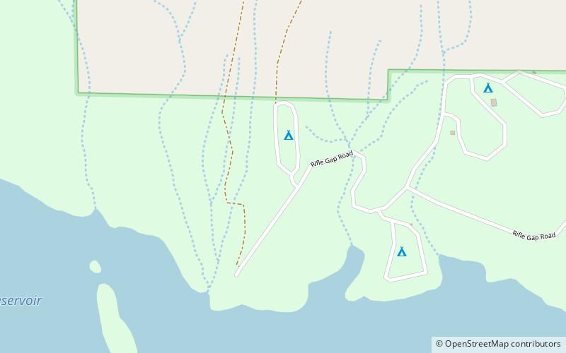
Map

Map

Facts and practical information
Rifle Gap State Park is a Colorado State Park located in Garfield County near Rifle, Colorado. The 1,341-acre park established in 1966 includes a 360-acre reservoir. Plant communities are pinyon-juniper woodlands, sagebrush shrubland with deciduous riparian forest in places along the edge of the Rifle Gap Reservoir. Commonly observed wildlife include mule deer, elk and great horned owls. Park facilities include a visitors center, campgrounds, picnic sites and a boat ramp. ()
Established: 1966 (60 years ago)Coordinates: 39°38'5"N, 107°45'18"W
Location
Colorado
ContactAdd
Social media
Add
Day trips
Rifle Gap State Park – popular in the area (distance from the attraction)
Nearby attractions include: Harvey Gap State Park, Rifle Falls State Park.


