Saddleback Butte State Park
Map

Map

Facts and practical information
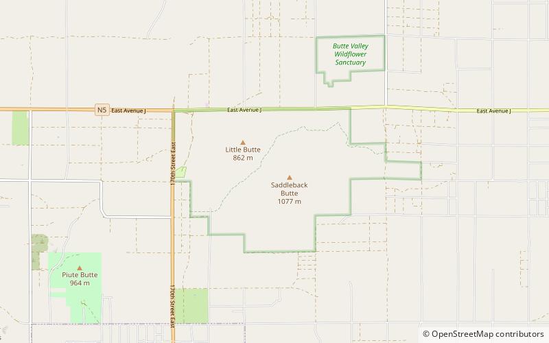
Saddleback Butte State Park is a state park in the Antelope Valley of the western Mojave Desert, in Southern California. It is located east of Lancaster, north of the community of Lake Los Angeles, and south of Edwards in the unincorporated community of Hi Vista. ()
Established: 1960 (66 years ago)Elevation: 3100 ft a.s.l.Coordinates: 34°40'38"N, 117°48'7"W
Location
California
ContactAdd
Social media
Add
