Lincolnwood, Chicago
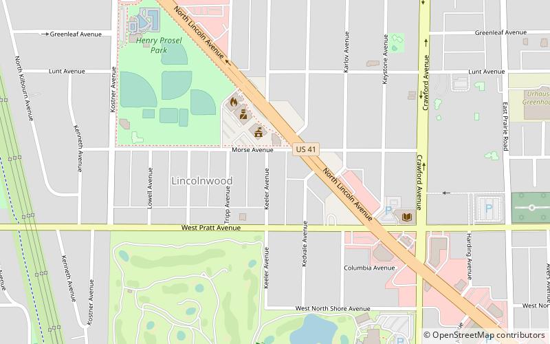
Map
Facts and practical information
Lincolnwood is a village in Cook County, Illinois, United States. The population was 12,590 at the 2010 census. An inner suburb of Chicago, it shares its southern, eastern, and a small section of its western boundary with Chicago, also bordering Skokie to the north and west. ()
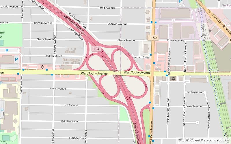
Getting there by public transportation
Public transportation stops near this location
- Bus
 Bus
Bus
- Calculate routeTouhy & Kostner EB 12 min walk
Maps Rail "L"
Rail "L"Day trips


Frequently Asked Questions (FAQ)
How to get to Lincolnwood by public transport?
The nearest stations to Lincolnwood:
Bus
Bus
- Touhy & Kostner EB • Lines: 290 (12 min walk)