Touhy Avenue, Chicago
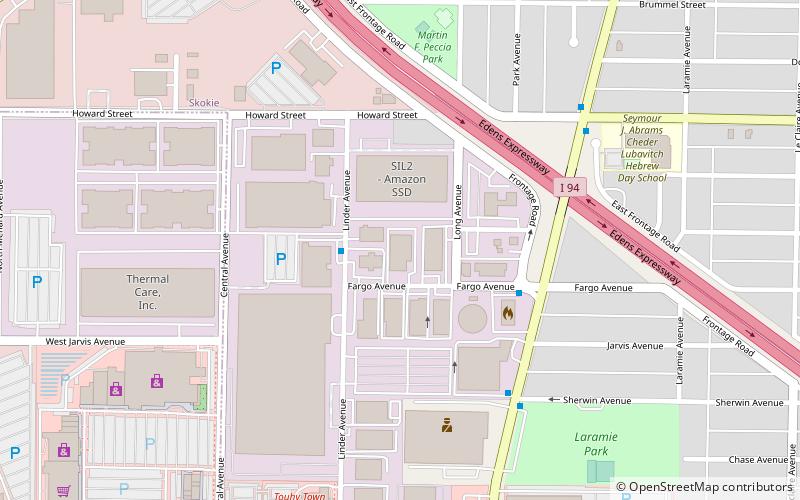
Map
Facts and practical information
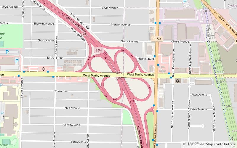
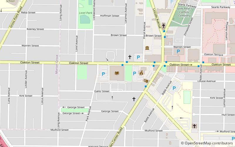
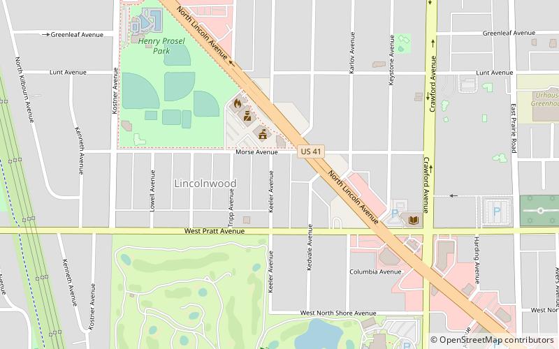
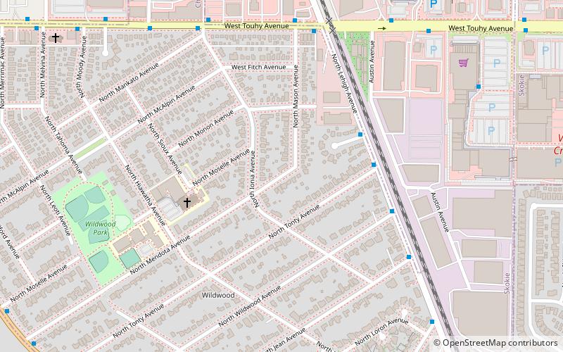
Touhy Avenue is a major street throughout northern Chicago, Illinois as well as the north and northwestern suburbs of the city. It is named for Patrick L. Touhy, a subdivider who was also the son-in-law of Phillip Rogers, an early settler who helped develop Rogers Park. Points of interest along Touhy Avenue include Loyola Park, the Winston Towers, the Lincolnwood Town Center, Lincolnwood Produce & Grocery, Loeber Motors, Hebrew Theological College, Village Crossing Shopping Center, Pointe Plaza, the Shure Headquarters Building, the Leaning Tower YMCA, the Pickwick Theatre, and the northern end of O'Hare International Airport. ()
Coordinates: 42°0'43"N, 87°45'2"W
Address
LincolnwoodChicago
ContactAdd
Social media
Add
Getting there by public transportation
Public transportation stops near this location
- Metro
- Bus
- Train
 Metro
Metro
- Calculate routeCicero & Jarlath 4 min walk
- Calculate routeTouhy & Cicero WB 5 min walk
- Calculate routeOakton-Skokie 28 min walk
- Calculate routeEdgebrook 32 min walk
Maps Rail "L"
Rail "L"Day trips


Frequently Asked Questions (FAQ)
Which popular attractions are close to Touhy Avenue?
Nearby attractions include Emily Oaks Nature Center, Skokie (18 min walk), Chicago ORT Technical Institute, Skokie (20 min walk).
How to get to Touhy Avenue by public transport?
The nearest stations to Touhy Avenue:
Bus
Metro
Train
Bus
- Cicero & Jarlath • Lines: 54A (4 min walk)
- Touhy & Cicero WB • Lines: 290 (5 min walk)
Metro
- Oakton-Skokie • Lines: Yellow (28 min walk)
Train
- Edgebrook (32 min walk)