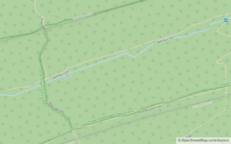
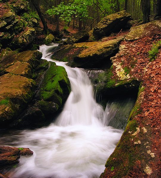
Snyder Middleswarth Natural Area

Gallery (2)
Map
Map
Gallery
Facts and practical information
Snyder Middleswarth Natural Area is a 500 acre National Natural Landmark within Bald Eagle State Forest in Spring Township, Snyder County, Pennsylvania in the United States. It is named for two Pennsylvania politicians from Snyder County: Simon Snyder and Ner Alexander Middleswarth. It was formerly a Pennsylvania state park and was the only one in Snyder County, but lost its state park status in the mid 1990s. ()
Established: 1921 (105 years ago)Elevation: 1795 ft a.s.l.Coordinates: 40°48'11"N, 77°18'52"W
Day trips
Snyder Middleswarth Natural Area – popular in the area (distance from the attraction)
Nearby attractions include: Poe Paddy State Park.
