Taylorsville Lake State Park

Gallery (1)
Map
Map
Facts and practical information
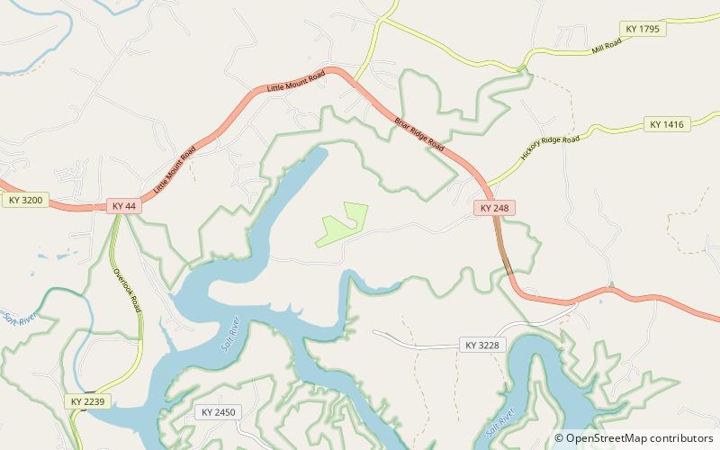
Taylorsville Lake State Park is a park encompassing 1,200 acres in Spencer County, Kentucky, roughly midway between Louisville and Lexington. Taylorsville Lake, its major feature, extends into parts of Anderson County and Nelson County. ()
Established: 1983 (43 years ago)Coordinates: 38°1'50"N, 85°15'20"W
Day trips

