Thunder Basin National Grassland
Map

Map

Facts and practical information
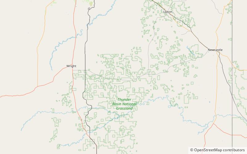
The Thunder Basin National Grassland is located in northeastern Wyoming in the Powder River Basin between the Big Horn Mountains and the Black Hills. The Grassland ranges in elevation from 3,600 feet to 5,200 feet, and the climate is semi-arid. The Grassland provides opportunities for recreation, including hiking, sightseeing, hunting, and fishing. There are no developed campgrounds; however, camping is allowed. Land patterns are very complex because of the intermingled federal, state, and private lands. ()
Area: 855.47 mi²Elevation: 4531 ft a.s.l.Coordinates: 43°40'48"N, 105°1'12"W
