Wharton Brook State Park

Gallery (1)
Map
Map
Facts and practical information
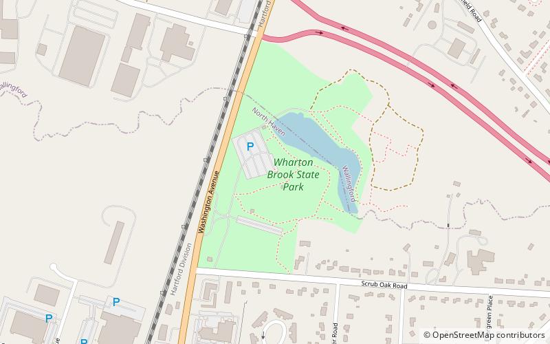
Wharton Brook State Park is a public recreation area located off U.S. Route 5 in the towns of North Haven and Wallingford, Connecticut. Activities in the 96-acre state park center on Allen Brook Pond, a 5-acre pond that empties into Wharton Brook. The park is managed by the Connecticut Department of Energy and Environmental Protection. ()
Established: 1919 (107 years ago)Elevation: 66 ft a.s.l.Coordinates: 41°25'31"N, 72°50'12"W
Day trips


