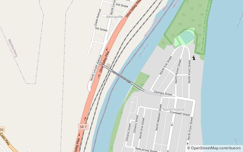
Aetnaville Bridge, Wheeling
Map

Map

Facts and practical information
The Aetnaville Bridge is a through truss bridge spanning the back channel of the Ohio River between Bridgeport, Ohio and Wheeling, West Virginia. The bridge was built in December 1891 and used for vehicular traffic until December 1988, when it was closed to cars due to safety concerns. The structure was used by pedestrians until its complete closure in 2016. ()
Length: 440 ftCoordinates: 40°4'49"N, 80°44'12"W
Address
Wheeling
ContactAdd
Social media
Add
Day trips
Aetnaville Bridge – popular in the area (distance from the attraction)
Nearby attractions include: WesBanco Arena, Wheeling Suspension Bridge, Cathedral of Saint Joseph, Capitol Theatre.
Frequently Asked Questions (FAQ)
Which popular attractions are close to Aetnaville Bridge?
Nearby attractions include Military Order of the Purple Heart Bridge, Wheeling (14 min walk), Wheeling Island Historic District, Wheeling (17 min walk), Wheeling Island, Wheeling (18 min walk), Fort Henry Bridge, Wheeling (20 min walk).


