Billies Bay Wilderness

Map
Facts and practical information
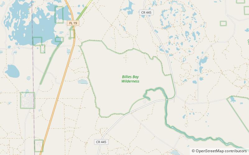
The Billies Bay Wilderness is part of Ocala National Forest. The 3,092-acre wilderness was established on September 28, 1984. The mostly marshy and swampy nature of the area is indicated by the word 'bay' as part of the name, since this is a Floridian term for swamp. It contributes to the headwaters of Alexander Springs Creek in the nearby Alexander Springs Wilderness. ()
Coordinates: 29°5'30"N, 81°35'23"W
Location
Florida
ContactAdd
Social media
Add
Day trips
Billies Bay Wilderness – popular in the area (distance from the attraction)
Nearby attractions include: Alexander Springs Recreation Area.
