Alexander Springs Recreation Area, Ocala National Forest

Gallery (1)
Map
Map
Facts and practical information
Alexander Springs Recreation Area (address: 49525 County Road 445) is a place located in Ocala National Forest (Florida state) and belongs to the category of park, relax in park.
It is situated at an altitude of 36 feet, and its geographical coordinates are 29°4'45"N latitude and 81°34'47"W longitude.
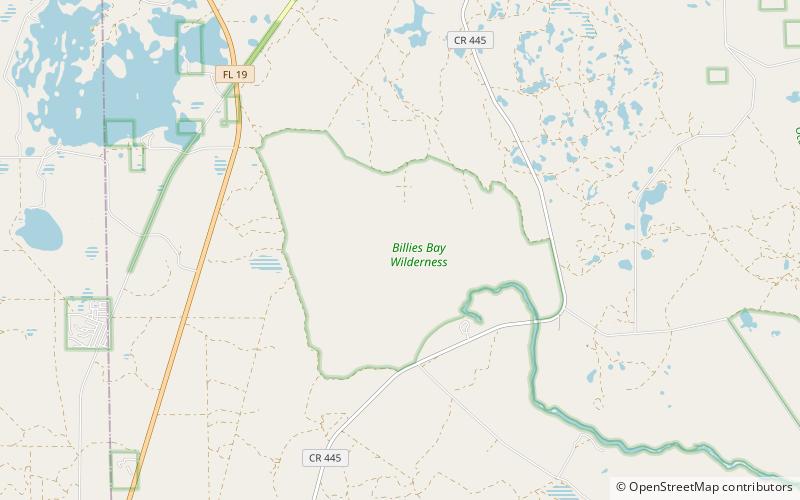
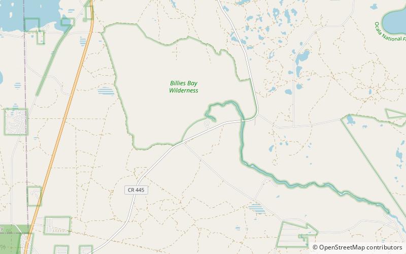
Among other places and attractions worth visiting in the area are: Billies Bay Wilderness (natural attraction, 28 min walk).
Elevation: 36 ft a.s.l.Coordinates: 29°4'45"N, 81°34'47"W
Day trips
Alexander Springs Recreation Area – popular in the area (distance from the attraction)
Nearby attractions include: Billies Bay Wilderness.