Bull Run National Forest, Mount Hood Wilderness
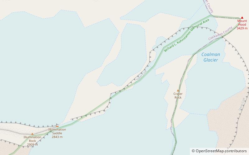
Map
Facts and practical information
Bull Run National Forest was established as the Bull Run Forest Reserve by the General Land Office in Oregon on June 17, 1892, with 142,080 acres. After the transfer of federal forests to the U.S. Forest Service in 1905, it became a National Forest on March 4, 1907. On July 1, 1908, the entire forest was combined with part of Cascade National Forest to establish Oregon National Forest and the name was discontinued. The lands are now part of Mount Hood National Forest. ()
Coordinates: 45°22'14"N, 121°42'14"W
Address
Mount Hood Wilderness
ContactAdd
Social media
Add
Day trips
Bull Run National Forest – popular in the area (distance from the attraction)
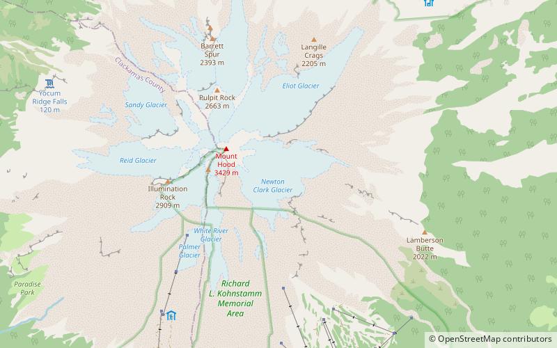
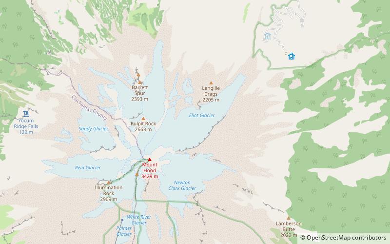
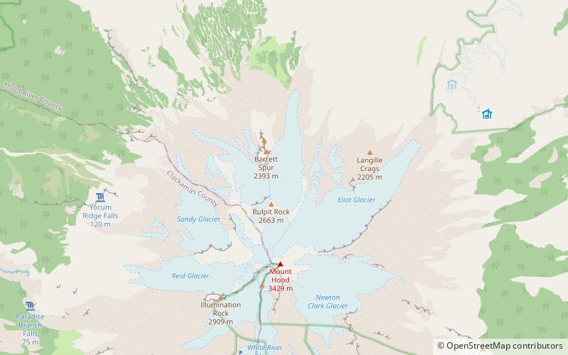
Nearby attractions include: Coalman Glacier, Palmer Glacier, White River Glacier, Sandy Glacier.
Frequently Asked Questions (FAQ)
Which popular attractions are close to Bull Run National Forest?
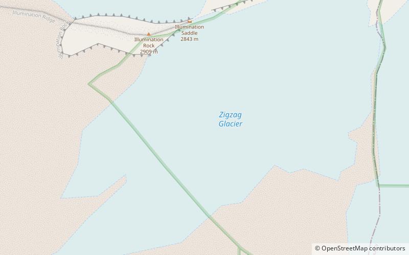
Nearby attractions include Coalman Glacier, Mount Hood Wilderness (7 min walk), Zigzag Glacier, Mount Hood Wilderness (11 min walk), Mount Hood, Mount Hood Wilderness (12 min walk), Reid Glacier, Mount Hood Wilderness (18 min walk).


