Sandy Glacier, Mount Hood Wilderness
Map
Map

Facts and practical information
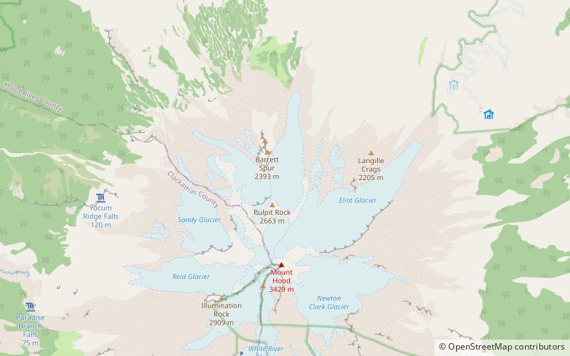
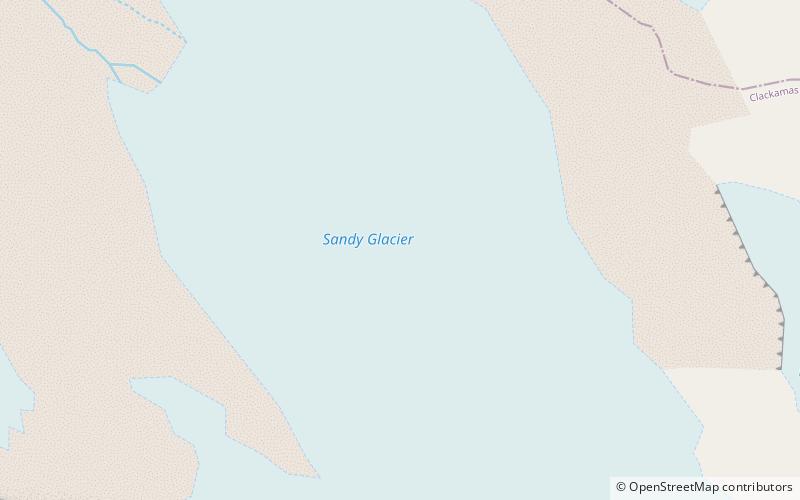
Sandy Glacier is an alpine glacier located on the west slope of Mount Hood in the U.S. state of Oregon. It extends in elevation from about 8,800 to 6,000 feet. The glacier is the source of Muddy Fork, a tributary of the Sandy River. The upper extent of the glacier is known for extensive crevasses. The lower extent was marked by the Sandy Glacier Caves, possibly the largest glacier cave system in the lower 48 U.S. states. ()
Coordinates: 45°22'52"N, 121°42'54"W
Address
Mount Hood Wilderness
ContactAdd
Social media
Add
Day trips
Sandy Glacier – popular in the area (distance from the attraction)
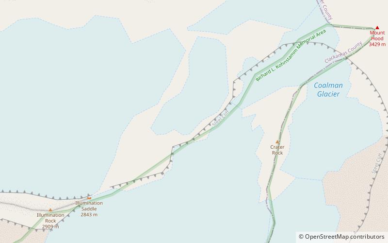
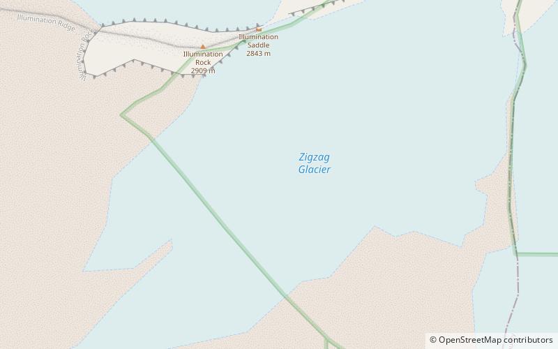
Nearby attractions include: Coalman Glacier, Reid Glacier, Ladd Glacier, Bull Run National Forest.
Frequently Asked Questions (FAQ)
Which popular attractions are close to Sandy Glacier?
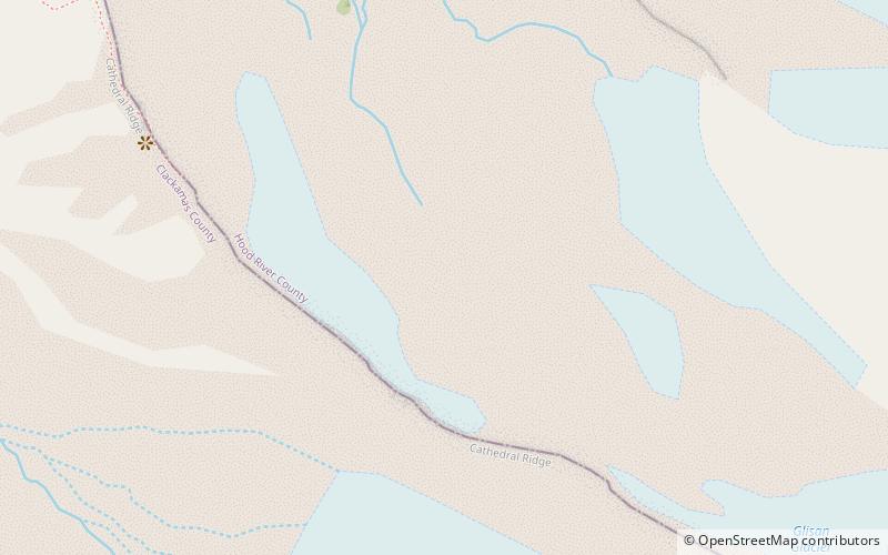
Nearby attractions include Sandy Glacier Caves, Mount Hood Wilderness (8 min walk), Glisan Glacier, Mount Hood Wilderness (15 min walk), Reid Glacier, Mount Hood Wilderness (18 min walk), Ladd Glacier, Mount Hood Wilderness (19 min walk).


