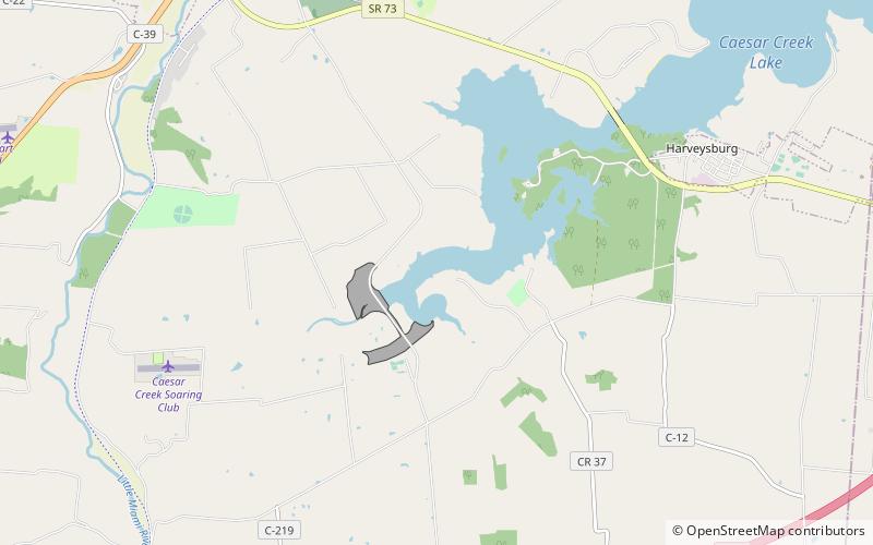
Caesar Creek State Park
Map

Map

Facts and practical information
Caesar Creek State Park is a public recreation area located in southwestern Ohio, five miles east of Waynesville, in Warren, Clinton, and Greene counties. The park is leased by the State from the U.S. Army Corps of Engineers, who in the 1970s erected a dam on Caesar Creek to impound a 2,830-acre lake. The total park area, including the lake, is 7,530-acre. ()
Established: 1978 (48 years ago)Coordinates: 39°29'19"N, 84°3'8"W
Day trips
Caesar Creek State Park – popular in the area (distance from the attraction)
Nearby attractions include: Ohio Renaissance Festival, Harveysburg, Waynesville.


