Colman Park, Seattle
Map
Facts and practical information
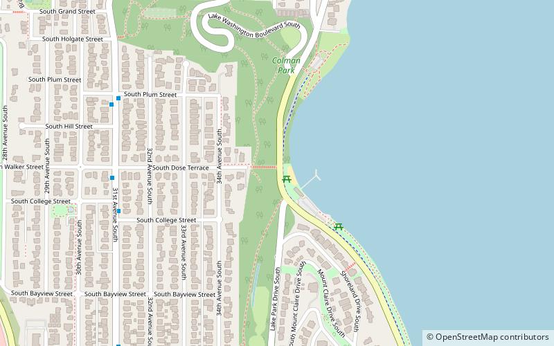
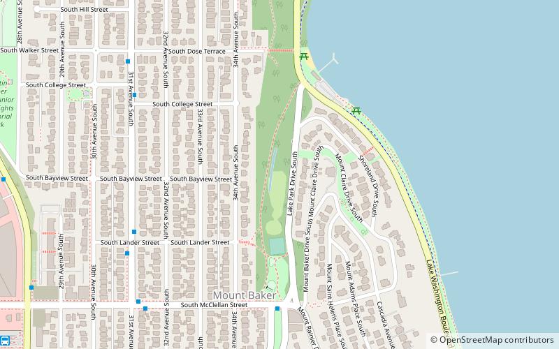
Colman Park is a 24.3-acre park in the Mount Baker neighborhood of Seattle, Washington, located just south of the Lacey V. Murrow Memorial Bridge along Lake Washington and inland to 31st Avenue S. ()
Elevation: 33 ft a.s.l.Coordinates: 47°35'1"N, 122°17'17"W
Address
Rainier Valley (Mount Baker)Seattle
ContactAdd
Social media
Add
Getting there by public transportation
Public transportation stops near this location
- Bus
- Light rail
 Bus
Bus
- Calculate route36th Ave S & S Day St 10 min walk
- Calculate routeLakeside Ave S & S Day St 12 min walk
- Calculate routeMartin L King Jr Way S & S Bayview St 12 min walk
- Calculate routeMount Baker 17 min walk
- Calculate routeBeacon Hill 30 min walk
Day trips


Frequently Asked Questions (FAQ)
Which popular attractions are close to Colman Park?
Nearby attractions include Mount Baker Park, Seattle (5 min walk), Mount Baker Tunnel, Seattle (18 min walk), Jimi Hendrix Park, Seattle (19 min walk), Northwest African American Museum, Seattle (20 min walk).
How to get to Colman Park by public transport?
The nearest stations to Colman Park:
Bus
Light rail
Bus
- 36th Ave S & S Day St • Lines: 27 (10 min walk)
- Lakeside Ave S & S Day St • Lines: 27 (12 min walk)
Light rail
- Mount Baker • Lines: 1 (17 min walk)
- Beacon Hill • Lines: 1 (30 min walk)