Mount Baker Park, Seattle
Map
Facts and practical information
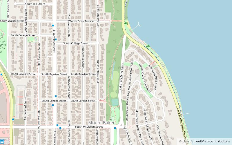
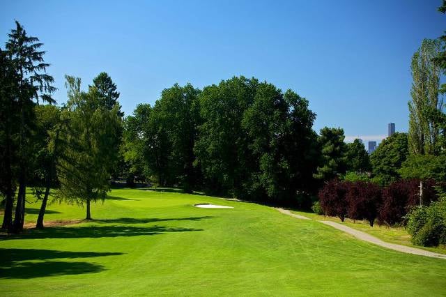
Mount Baker Park is a 21.7-acre urban park in Seattle, Washington, United States. It is located along a ravine in the Mount Baker neighborhood in the Rainier Valley, stretching from South McClellan Street in the south to Lake Washington Boulevard at its north end. The park's north end is adjacent to Mount Baker Beach on Lake Washington and Colman Park. The south end connects to Mount Baker Boulevard, a scenic street that continues southwest to Franklin High School and the Mount Baker light rail station. ()
Elevation: 79 ft a.s.l.Coordinates: 47°34'52"N, 122°17'18"W
Address
Rainier Valley (Mount Baker)Seattle
Contact
+1 206-684-4075
Social media
Add
Getting there by public transportation
Public transportation stops near this location
- Bus
- Light rail
 Bus
Bus
- Calculate routeMartin L King Jr Way S & S Mcclellan St 10 min walk
- Calculate routeMount Baker Transit Center 12 min walk
- Calculate routeRainier Ave S & Mount Baker TC 13 min walk
- Calculate routeMount Baker 14 min walk
- Calculate routeBeacon Hill 28 min walk
Day trips


Frequently Asked Questions (FAQ)
Which popular attractions are close to Mount Baker Park?
Nearby attractions include Colman Park, Seattle (5 min walk), Mount Baker Tunnel, Seattle (21 min walk), Jimi Hendrix Park, Seattle (21 min walk), Northwest African American Museum, Seattle (22 min walk).
How to get to Mount Baker Park by public transport?
The nearest stations to Mount Baker Park:
Bus
Light rail
Bus
- Martin L King Jr Way S & S Mcclellan St • Lines: 8 (10 min walk)
- Mount Baker Transit Center • Lines: 48, 8, Issaquah Alps (12 min walk)
Light rail
- Mount Baker • Lines: 1 (14 min walk)
- Beacon Hill • Lines: 1 (28 min walk)