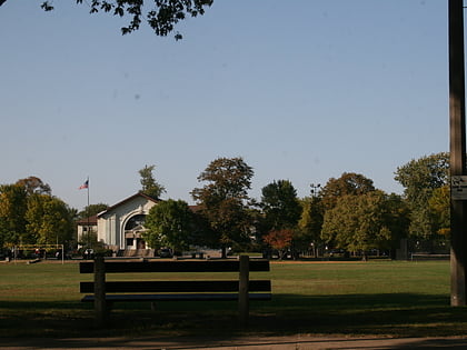
Dickens Athletic Center, Chicago
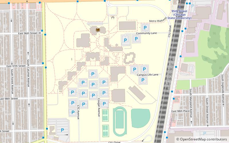
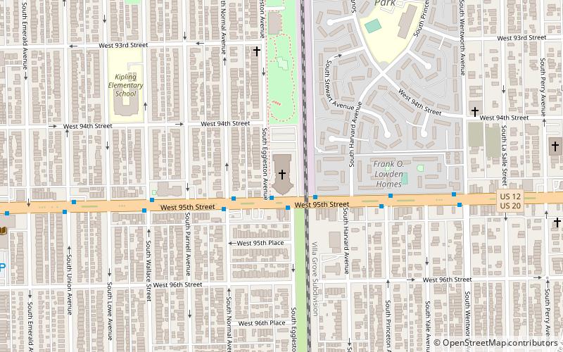
Map
Facts and practical information
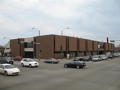
Dickens Athletic Center is a 2,500-seat multi-purpose arena in Chicago, Illinois. ()
Coordinates: 41°43'4"N, 87°36'32"W
Address
Far Southeast Side (Roseland)Chicago
ContactAdd
Social media
Add
Day trips
Dickens Athletic Center – popular in the area (distance from the attraction)
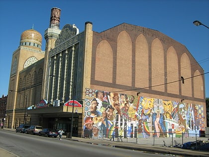
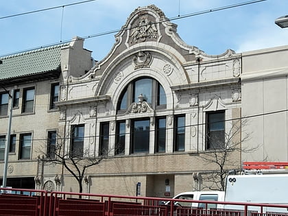
Nearby attractions include: Carter G. Woodson Regional Library, New Regal Theater, Jeffery Theater, Trinity United Church of Christ.
Frequently Asked Questions (FAQ)
How to get to Dickens Athletic Center by public transport?
The nearest stations to Dickens Athletic Center:
Bus
Train
Metro
Bus
- Chicago State University • Lines: 3, 4 (6 min walk)
- Cottage Grove & 98th Street • Lines: 115, 4 (7 min walk)
Train
- 95th Street (10 min walk)
- 103rd Street (20 min walk)
Metro
- 95th/Dan Ryan • Lines: Red (22 min walk)
 Rail "L"